Reading the Ice: The Kettle Moraine's Bumpy, Beautiful Geography
Southeastern Wisconsin's ridge of kettles, kames and eskers is where the state's glacial landscape is easiest to read — and where two lobes of ice once ground against each other.
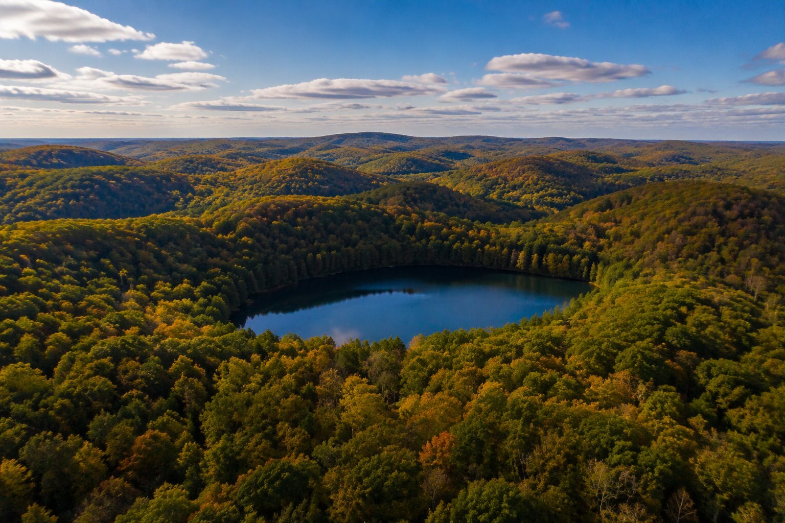
Between Milwaukee and Madison runs a long, rumpled ridge of forested hills pocked with round lakes — the Kettle Moraine, a landscape so clearly stamped by glaciers that geologists use it to teach the vocabulary of ice.
The Kettle Moraine formed where two lobes of the last great ice sheet — the Green Bay lobe and the Lake Michigan lobe — pressed against each other about 15,000 years ago. In the seam between them, debris-choked ice melted in place, collapsing into the chaotic terrain geologists call interlobate moraine.
The names read like a field guide. Kettles are the round pits left when stranded blocks of ice melted out of the debris — many are now lakes, like those in the Kettle Moraine State Forest. Kames are conical gravel hills. Eskers are the winding ridges laid down by rivers that ran inside the melting ice.
Two lobes of ice ground together between Milwaukee and Madison — and left behind a landscape you can read like a book.
The result, preserved in the Kettle Moraine State Forest's northern and southern units and the Lapham Peak unit near Delafield, is southeastern Wisconsin's premier outdoor playground: glacial hills for hiking and skiing, spring-fed kettle lakes for paddling, and some of the state's best mountain biking.
The Ice Age National Scenic Trail threads the whole formation — the moraine is, in a sense, the trail's home turf — and Lapham Peak's observation tower offers the classic classroom view: ridge after rumpled ridge, reading west toward the old ice edge.
It's also a working landscape, ringed by the dairy country of Washington, Waukesha and Walworth counties — a reminder that Wisconsin's farmland and its glacial sculpture are the same inheritance, seen from two angles.